Quitting Photography
Hello everyone, it has been a few months since my last blog post. After much consideration, I have decided to quit landscape photography. After playing around with AI image generators, I realized that artificial neural networks yield much more rewarding photos than those that I get after a day in the field. I honestly do not see any point in going outdoors when I can find the perfect combination of weather conditions right on my computer screen. In the meantime, I will sell all my hiking and photography gear on eBay for ten dollars. I’ll post the eBay listing here shortly.
Happy April Fools! Rest assured, I will not be quitting photography anytime soon. I have been on a bit of a hiatus from the blog the past few months due to some personal matters, but I am grateful that I have still been able to go outdoors and photograph.
In this month’s blog, I would like to share some of my work from the past three months. No generative AI here!
Mount Tamalpais
Every winter I try to make at least one visit to the top of Mount Tamalpais for sunrise. Mount Tamalpais State Park opens every day at 7 AM. During much of the year, this happens well after sunrise, but for a few weeks in the winter, the gates open with time to spare.
I planned to start off New Year’s Day with a sunrise. Unfortunately, I woke up significantly later than anticipated and arrived after the sun had already risen. Initially I thought I had missed the best light of the morning but decided to stick around anyway. Thankfully I did, as that morning’s cloud cover swirled and dissipated around the mountain’s foothills, making for some truly stunning conditions.


Calaveras Big Trees State Park
In February, my friend Scott invited me up to his family’s cabin in Arnold, California. I realized that Calaveras Big Trees State Park was a short drive away and planned a morning hike after a night of snow. The park was exceptionally quiet that morning.

As usual, I encountered some difficulty photographing the sequoia. I often find it difficult to communicate the sense of scale that can only be felt in person standing next to these trees. However, the fresh snow did simplify the scene. Now that all the neighboring branches were frosted with snow, the sequoia trunks stood out brightly against the background.
Rodeo Beach

Located less than eight miles from Downtown San Francisco, Rodeo Beach is tucked away in a small corner of the Marin Headlands, north of the city. I have been fascinated with photographing these sea stacks after seeing photos of them from Galen Rowell. I’ve returned to this location for several years attempting to photograph these rocks. Unfortunately, that has proven to be quite a challenge. The sun often sets directly in front of the camera, leading to lens flare or blown out highlights.
I waited for the sun to disappear, then attempted a few long exposure shots on film, hoping the slow shutter speeds would smooth out the surf as it washed over the boulders. Just to be safe, I snapped a few more on my digital camera—hoping that its dynamic range would be enough to capture all the detail in both the shadows and the sky.

Eastern Sierra
I capped off this series of outings with a President’s Day weekend trip to the Sierra Nevada. As much as I love this area in the summer during backpacking season, winter here holds a special place in my heart. The Californian in me rejoices whenever I see the Sierra after a fresh blanket of snow. Going on at least one winter trip here has become something of an annual tradition.


I have photographed this farmer’s pond outside of Bishop, California on multiple occasions. On this morning, I decided to return because I woke up later than planned after a long, eight-hour drive to Bishop the night before. With just fifteen minutes to spare, this was one of the few locations that I could drive to before the sun rose.
I scrambled to set up my camera as the alpenglow intensified but struggled to find the right framing. In my haste, I snapped a few photos but thought I had missed the best light.
For most of my best pictures, I usually have some story about how a combination of planning, persistence, and luck allowed all the elements to come together at the exact moment I clicked the shutter. Unfortunately, in this instance the fact that these two photos turned out at all came as a complete shock to me. A surprise to be sure, but a welcome one.
That weekend, I made several trips to Mono Lake for both sunrise and sunset. I found the best light on Sunday morning. I had the area all to myself as I shuffled back and forth between the tufa formations on the shoreline.


Death Valley National Park
The weather report for Monday looked dismal. With a storm set to arrive on President’s Day, the entire Sierra would be smothered under a thick blanket of clouds. Photographing sunrise the next morning would be out of the question.
Then a crazy idea popped into my head. Death Valley National Park was three hours south of me. I had just seen pictures on Instagram from other photographers in the park, and the conditions looked stunning. Perhaps the weather on Monday morning might be better there. I checked the forecast, only to find that it would also rain there the next morning. However, there might be just enough of a break in the cloud cover to see sunrise. I anxiously flipped back and forth between the weather forecasts for Bishop and Death Valley, agonizing about what I should do the next morning.
I could either stay in town and sleep in, knowing that it would rain the whole day. Or I could take a risk and wake up much earlier, drive three hours down to Death Valley before dawn, hoping that the weather cooperated.
If you have been reading my blog for long enough, you probably won’t be too surprised at which option I chose. I woke up at 2:30 AM the next day and set off on the drive to Death Valley with a history podcast queued and Red Bull in hand.
The first hints of light came as I pulled into the parking lot for Badwater Basin, the lowest point in North America at 282 feet (86 meters) below sea level. 150,000 years ago, a lake 600 feet (183 meters) deep filled this valley. Lake Manly had evaporated during the last ice age 10,000 years ago, leaving behind salt deposits up to 4,000 feet (1,219 meters) deep in some areas. The lake has reappeared occasionally ever since then, most recently in 2005. After torrential rain from Hurricane (and then tropical storm) Hilary last August, Lake Manly once again reemerged. Further storms in February swelled the lake to the point where visitors could kayak in open water.
Though I had hoped for a calm morning, forty mile an hour winds meant that any reflection shots I had in mind would not be possible. Instead I focused my attention on the atmospherics. Thankfully, the weather was just clear enough for the sun to appear. The storm clouds above me smoldered ominously in the dawn light. The clouds converged, cleared, then reappeared again in quick succession multiple times throughout the morning.


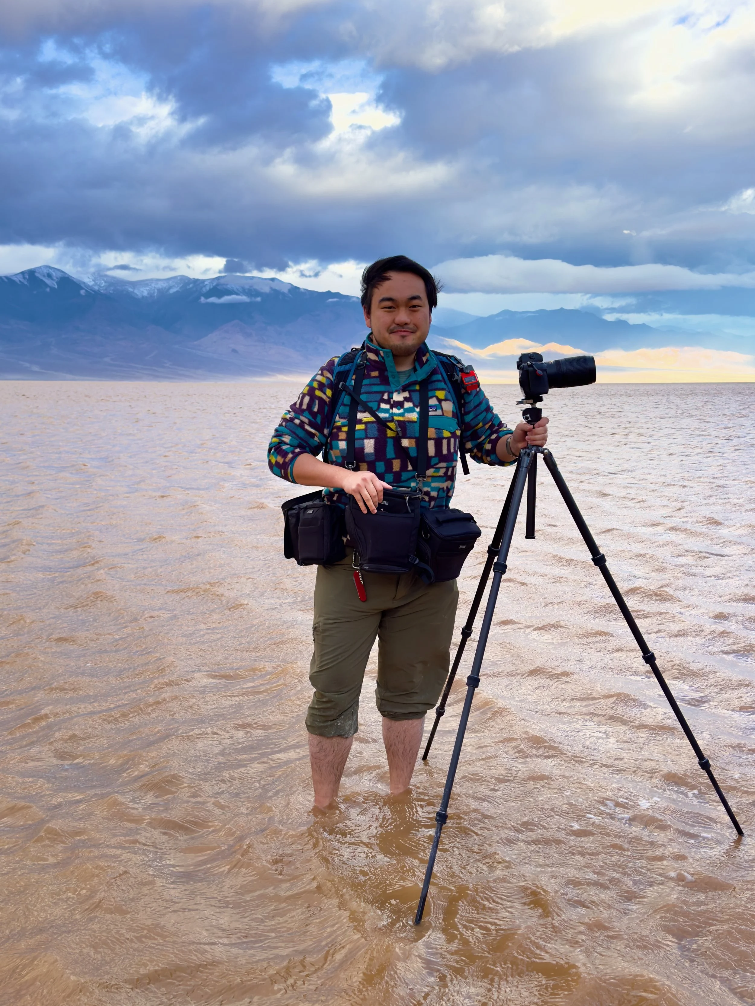
As I photographed, other visitors hauled kayaks into the water and started paddling around the lake. It was a strange sight to see in Death Valley, where a mere two inches (5 cm) of rain fall annually and summer temperatures regularly reach 120°F (49°C).


As the caffeine from that morning’s 3 AM Red Bull wore off, I snuck in a quick nap on the side of the road before continuing the ten-hour drive home.
